Document

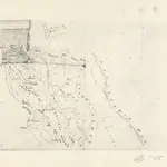
[Map of Central California].
Photocopy of ms. map. Relief shown by hachures. Shows drainage, roads, etc. Covers area between the Pacific and Sierra Nevada, and from "Suter's" to the southern San Joaquin Valley. This map was carried by Henry M. Naglee in 1847. Original map is in the possession of William T. Arms, Greenfield, Mass. Wheat, C.I. Mapping Transmississippi West, v. 3, no. 550
UCLA Library1847

