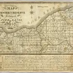
Cartes de Comté de Summit (Ohio)
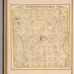 1874|Everts, L.H.
 1833|Taylor, Allen1:410 000
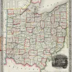
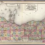 1872|Walling, H. F.1:300 000
 1851|Parkman, Francis
 1853|Thayer, Horace & Co.1:570 240
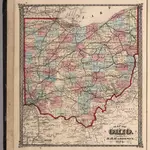 1874|Hardesty, H.H.
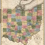 1831|Kilbourne, J.1:950 000
Anciennes cartes de Comté de Summit (Ohio)
Découvrez le passé de Comté de Summit (Ohio) sur des cartes historiques
Anciennes cartes de Comté de Summit (Ohio)
Découvrez le passé de Comté de Summit (Ohio) sur des cartes historiques
À la recherche d'un Alternative à l'API Google Maps?